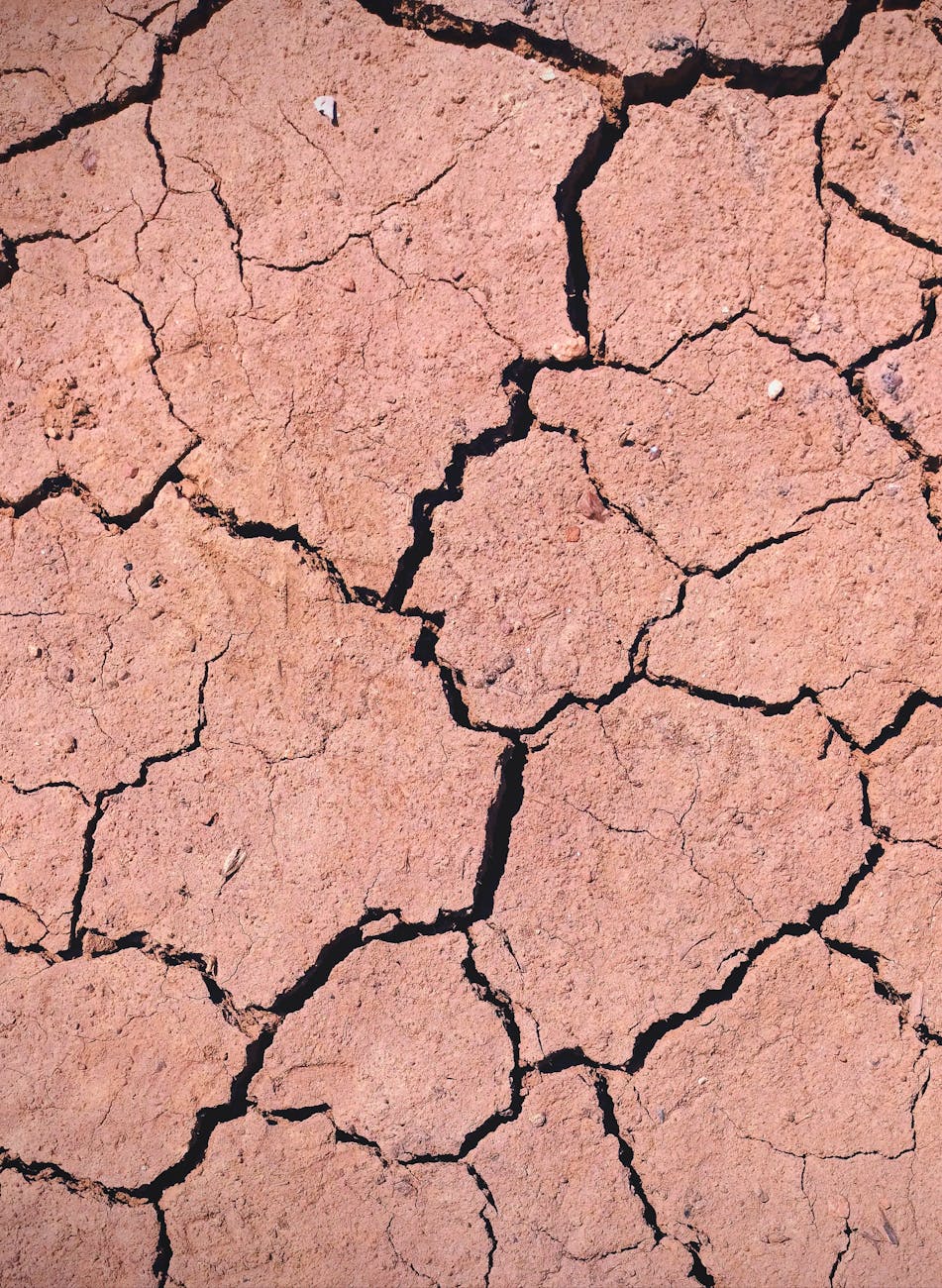
The Caribbean is being warned to prepare for a prolonged period of hotter and drier conditions as El Niño strengthens, with climate experts cautioning that the impacts could stretch well into 2027.
The University of the West Indies Climate Studies Group Mona (UWI CSGM) and the Caribbean Institute of Meteorology and Hydrology (CIMH) are urging governments, businesses, farmers and households to step up preparations as the region enters the peak of its Heat Season.
August through October is typically the Caribbean’s peak Heat Season, but experts say the current dry conditions are particularly concerning because the region is expected to enter its climatological Dry Season around November.
CIMH climatologist Dr Cedric Van Meerbeeck said El Niño conditions in the Pacific strengthened rapidly from weak in May to moderate by July, with the latest monitoring showing further intensification.
Forecasts indicate a high likelihood of very strong El Niño conditions between October and December 2026, with the phenomenon expected to persist into March 2027, when the Caribbean Dry Season reaches its peak.
The strengthening El Niño is raising concerns about drought, extreme heat, wildfires and marine heatwaves, which can contribute to coral bleaching.
Van Meerbeeck pointed to previous El Niño periods, including 2009-2010 and 2014-2016, which were associated with severe droughts. Similar combinations of extreme heat and other climate impacts were also seen during the record heat years of 2010, 2023 and 2024.
The Eastern Caribbean could be particularly vulnerable.
Areas already experiencing drought may struggle to replenish their water resources even during the peak of the Wet Season between September and October or November.
The latest forecasts show below-normal rainfall expanding from the Guianas across the Lesser Antilles and into the Greater Antilles through at least October.
At the same time, the number of days experiencing hot spells is expected to increase.
By October and November, drought conditions are likely across much of the Windward and Leeward Islands and the ABC Islands, along with parts of Jamaica, Hispaniola and The Bahamas.
The dry conditions could continue into early 2027 and expand to more parts of the Caribbean, bringing increased concerns over water shortages and wildfires.
Agriculture, health and tourism at risk
The combination of less rainfall and higher temperatures could have serious consequences for agriculture, particularly for farmers who depend on rainfall.
Belize and Jamaica are among the countries highlighted as areas of concern, with prolonged dry spells potentially affecting food production, rural livelihoods and regional food security.
Health services could also face additional pressure from heat-related illnesses, water availability and quality issues and vector-borne diseases.
Water and energy systems may come under strain as households and businesses use more electricity for cooling. Countries that depend heavily on hydroelectric power or freshwater-cooled energy production could face additional challenges.
Tourism could also be affected, with hotels and other tourism businesses facing increased demand for cooling and freshwater while visitors and workers are exposed to prolonged heat.
The effects could extend beyond the region’s borders.
Climate experts are warning that disruptions linked to El Niño could affect global trade and supply chains, including food production in some of the markets on which Caribbean countries depend.
Previous droughts have also disrupted operations at the Panama Canal, an important route for goods entering the Caribbean and ports along the US East Coast.
Quiet hurricane season does not mean no risk
The strengthening El Niño could bring some relief on one front, as the phenomenon is typically associated with less active Atlantic hurricane seasons.
That pattern has been evident so far during the 2026 season, which has had a relatively quiet start apart from three weak, short-lived named storms in the Gulf of Mexico and one storm in the North Atlantic far from land.
CIMH’s early-August hurricane outlook found strong evidence that the remainder of the season could produce fewer storms than an average year.
But Van Meerbeeck cautioned against becoming complacent.
A single major hurricane or intense rainfall event can still cause significant damage, even during an otherwise quiet season.
Tropical Storm Erika in 2015 was cited as an example. The storm did not make direct landfall in Dominica but still caused major flooding and landslides and was considered one of the country’s worst natural disasters.
Professor Michael Taylor, co-director of UWI CSGM, said the warning signs identified earlier in the year are now beginning to appear.
“The risks signalled by the science earlier this year are now beginning to materialise,” Taylor said.
He described the situation as an emerging climate disaster involving heat, drought and marine extremes, noting that unlike a hurricane, the impacts are expected to build gradually over several months.
“What we do now determines the options available to us later,” Taylor said.
Officials are encouraging governments, businesses and communities to closely monitor the monthly updates from the Caribbean Climate Outlook Forum (CariCOF), particularly as the region moves from the Wet Season towards the Dry Season.
CIMH Principal Dr David Farrell said timely climate information will be critical in helping countries make decisions and reduce the impact of extreme weather on communities and climate-sensitive sectors.
“Proactive measures are vital for mitigating the impacts of extreme weather events on climate-sensitive sectors, communities, and national economies,” Farrell said.

Leave a Reply